| UTC time | 1977-06-22 12:08:33 |
|---|---|
| ISC event | 697569 |
| USGS-ANSS | ComCat |
| Local date | 23 June 1977 |
| Local time | 01:08:33 |
| Magnitude | 8.0 Mw[1] |
| Depth | 55 km (34 mi)[1] |
| Epicenter | 22°53′S 175°43′W / 22.89°S 175.71°W[1] |
| Type | Normal[2] |
| Max. intensity | MMI VIII (Severe)[3] |
| Casualties | yes |
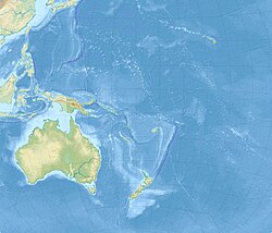
The 1977 Tonga earthquake took place on 23 June at 01:08:33 local time some 200 km southwest of Tongatapu, with shocks affecting all islands of the kingdom of Tonga. The earthquake measured 8.0 on the moment magnitude scale and had a maximum intensity of VIII (Severe) on the Mercalli intensity scale.
The earthquake caused considerable damage to the infrastructures and some fatalities in most Tongan islands,[3] with the most damage in Tongatapu and ʻEua and the least damage in Ha'apai and Vava'u.[4]
- ^ a b c Cite error: The named reference
ISC-GEMwas invoked but never defined (see the help page). - ^ Cite error: The named reference
PAGER-CATwas invoked but never defined (see the help page). - ^ a b Cite error: The named reference
Tongawas invoked but never defined (see the help page). - ^ Cite error: The named reference
pdfwas invoked but never defined (see the help page).
