| UTC time | 2007-04-01 20:39:56 |
|---|---|
| ISC event | 11912481 |
| USGS-ANSS | ComCat |
| Local date | 2 April 2007 |
| Local time | 7:39:56 a.m. (UTC+11) |
| Magnitude | 8.1 Mw, 7.8 Ms |
| Depth | 10 km (6.2 mi) |
| Epicenter | 8°29′S 156°58′E / 8.48°S 156.97°E |
| Type | Megathrust |
| Areas affected | Solomon Islands Papua New Guinea |
| Max. intensity | MMI VIII (Severe) |
| Tsunami | Yes |
| Casualties | 52 dead, 60 missing |
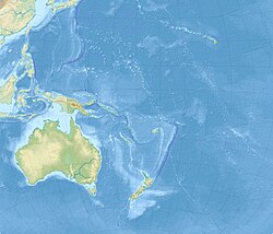
The 2007 Solomon Islands earthquake took place on 2 April 2007, near the provincial capital of Gizo on Ghizo Island, in the Solomon Islands. Its magnitude was estimated at 8.1 on the Mw scale, and 7.8 on the Ms scale. The tsunami that followed the earthquake killed 52 people. According to the USGS, the earthquake was recorded around 7:39:56 a.m. local time (UTC+11). The focus was 10 km (6 mi) deep and 40 km (25 mi) south southeast of Gizo township on New Georgia Islands in Western Province.[1] There were numerous aftershocks, the largest of which had a magnitude of 6.2.

