| A21 | |
|---|---|
| Route information | |
| Length | 58.6 mi[1] (94.3 km) |
| Major junctions | |
| Southeast end | |
| |
| Northwest end | |
| Location | |
| Country | United Kingdom |
| Constituent country | England |
| Counties | East Sussex, Kent, Greater London |
| Primary destinations | Bromley Sevenoaks Royal Tunbridge Wells |
| Road network | |
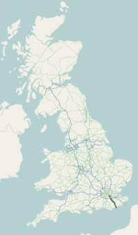
The A21 is a trunk road in Southern England, one of several which connect London and various commuter towns to the south coast. It provides a link to Hastings, East Sussex and parts of Kent. Half of the distance covered is over gently undulating terrain, with some hills and bends. Often traffic is slow-moving, particularly on weekdays on the short single carriageway stretches; and in summer with holiday traffic.[2][3][4][5][6] Because of this, people have described the A21 as "a joke" and businesspeople have been reported to "hate coming down the A21".[2] There have been many proposals to upgrade parts of the A21 in response to this.
Parts of the A21 follow the historic turnpike roads: for example the section from Sevenoaks to Tunbridge Wells, opened in 1710;[7] other sections of the road were similarly dealt with later in the century. It is also the location of the first wildlife overbridge in the United Kingdom, near Lamberhurst. The road between the M25 and Hastings is designated a trunk road, and is maintained and managed by National Highways.
The A21 is used for the 55 miles (89 km) Maydayrun to Hastings in which motorcyclists ride from south London to the Hastings seafront. It claims to be the largest non-organised event in the UK,[3] attracting over 20,000 bikers.
- ^ "Hastings, United Kingdom to Queensbury House, 51 Havelock Rd, Hastings TN34 1BE, UK to A21, Goudhurst, Wadhurst, UK to Lamberhurst Bypass, Tunbridge Wells, UK to 516 Bromley Rd, Bromley BR1 4PD, UK to A20, London SE13 5JZ, UK". Google Maps. Alphabet Inc. Retrieved 13 April 2023.
- ^ a b "Access to Hastings – Consultation Report – Appendices" (PDF). Hastings Online. September 2000. Archived from the original (PDF) on 21 June 2006. Retrieved 15 April 2012.
- ^ a b "BBC NEWS | England | Police seek safe May Day bike run". London: BBC News. 4 May 2008. Retrieved 9 October 2008.
- ^ "Funding recommended for A21 plans". London: BBC News. 7 October 2005. p. 1. Retrieved 1 April 2009.
- ^ "Highways Agency – A21 Tonbridge to Pembury Dualling". Highways.gov.uk. Archived from the original on 26 September 2008. Retrieved 9 October 2008.
- ^ "BBC article on improvements". BBC News. 13 March 2008. Retrieved 15 April 2012.
- ^ "Note on turnpike: Sussex Industrial Archaeological Study Group". Chiddingly.gov.uk. 1 April 1968. Archived from the original on 4 January 2007. Retrieved 15 April 2012.

