| A379 | |
|---|---|
| Route information | |
| Length | 69 mi (111 km) |
| Major junctions | |
| Northeast end | Exeter 50°42′45″N 3°27′55″W / 50.7126°N 3.4654°W 50°40′24″N 3°32′08″W / 50.6733°N 3.5355°W |
A38 | |
| Southwest end | Plymouth 50°22′13″N 4°07′27″W / 50.3702°N 4.1243°W |
| Location | |
| Country | United Kingdom |
| Constituent country | England |
| Road network | |


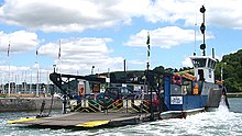
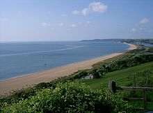
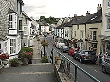
The A379 is a road in the English county of Devon. It links points on the edges of that county's two principal cities, Exeter and Plymouth, by an indirect and largely coastal route. The A38 provides a faster and more direct inland route between Exeter and Plymouth, whilst the A380 provides a similarly faster route between Exeter and the Torbay area. However the A379 serves many small coastal communities and ports along the coast. The indented nature of the South Devon coast means that the road is usually out of sight of the sea, but the many rivers and estuaries are crossed by bridges and, in one case, a cable ferry.

