This article's lead section may be too long. (May 2022) |
This article needs additional citations for verification. (August 2024) |
| Adelaide Lead Victoria | |
|---|---|
| Coordinates | 37°04′22″S 143°40′39″E / 37.07278°S 143.67750°E |
| Population | 85 (2021 census)[1] |
| Postcode(s) | 3465 |
| Elevation | 225 m (738 ft) |
| Location |
|
| LGA(s) | Shire of Central Goldfields |
| State electorate(s) | Ripon |
| Federal division(s) | Mallee |
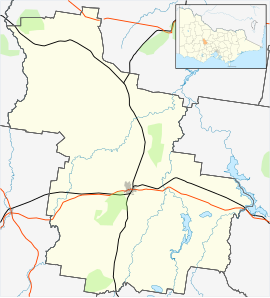
Adelaide Lead is a locality in Victoria, Australia, located on Old Avoca Road, 7 kilometres (4.3 mi) south-west of Maryborough, west of the Paddy Ranges State Park, in the Shire of Central Goldfields. Located on the northern slopes of the Central Highlands, the area is naturally characterised by Box-Ironbark forest. Remnants of Aboriginal settlement include rock wells beside Possum Gully Road.
At the 2016 Census, it had a population of 81.[2] At the 2021 Census, it had a population of 85.[1]
- ^ a b Australian Bureau of Statistics (28 June 2022). "Adelaide Lead (Suburbs and Localities)". 2021 Census QuickStats. Retrieved 3 January 2023.
- ^ Australian Bureau of Statistics (27 June 2017). "Adelaide Lead (State Suburb)". 2016 Census QuickStats.
