al-Jura
الجورة | |
|---|---|
 Part of the former village site, in 2015 | |
| Etymology: the Hollow[1] | |
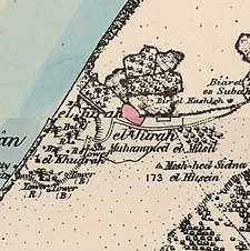
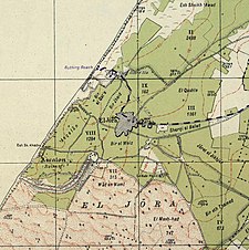
A series of historical maps of the area around Al-Jura (click the buttons) | |
Location within the Mandatory Palestine | |
| Coordinates: 31°39′57″N 34°33′17″E / 31.66583°N 34.55472°E | |
| Palestine grid | 107/119 |
| Geopolitical entity | Mandatory Palestine |
| Subdistrict | Gaza |
| Date of depopulation | November 4–5, 1948[4] |
| Area | |
| • Total | 12,224 dunams (12.224 km2 or 4.720 sq mi) |
| Population (1945) | |
| • Total | 2,420[2][3] |
| Cause(s) of depopulation | Military assault by Yishuv forces |
| Current Localities | Ashkelon[5] |
Al-Jura (Arabic: الجورة) was a Palestinian village that was depopulated during the 1948 Arab-Israeli war, located immediately adjacent to the towns of Ashkelon and the ruins of ancient Ascalon. In 1945, the village had a population of approximately 2,420 mostly Muslim inhabitants. Though defended by the Egyptian Army, al-Jura was nevertheless captured by Israel's Givati Brigade in a November 4, 1948, offensive as part of Operation Yoav.
Its residents had their origins in Egypt, Hebron, and Bedouin communities.[6]
The Shrine of Husayn's Head was located outside the town, until it was destroyed by the Israeli army in 1950.
The founder and spiritual leader of the Hamas militant organization Ahmed Yassin was born in al-Jura.
- ^ Palmer, 1881, p. 360
- ^ Department of Statistics, 1945, p. 31
- ^ a b Government of Palestine, Department of Statistics. Village Statistics, April, 1945. Quoted in Hadawi, 1970, p. 46
- ^ Morris, 2004, p. xix, village #307, Also gives the cause for depopulation
- ^ Khalidi, 1992, p. 117
- ^ Grossman, D. (1986). "Oscillations in the Rural Settlement of Samaria and Judaea in the Ottoman Period". in Shomron studies. Dar, S., Safrai, S., (eds). Tel Aviv: Hakibbutz Hameuchad Publishing House. p. 383


