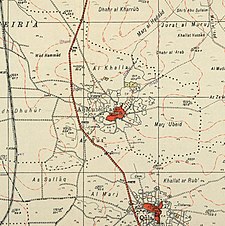
al-Muzayri'a
المُزيرعة al-Muzeiri'a | |
|---|---|
 | |
| Etymology: El Mezeirảh, The sown lands[1] | |
A series of historical maps of the area around Al-Muzayri'a (click the buttons) | |
Location within Mandatory Palestine | |
| Coordinates: 32°02′57″N 34°56′58″E / 32.04917°N 34.94944°E | |
| Palestine grid | 145/161 |
| Geopolitical entity | Mandatory Palestine |
| Subdistrict | Ramle |
| Date of depopulation | 12 July 1948[4] |
| Area | |
| • Total | 10,822 dunams (10.822 km2 or 4.178 sq mi) |
| Population (1945) | |
| • Total | 1,160[2][3] |
| Cause(s) of depopulation | Military assault by Israeli forces |
| Current Localities | Mazor[5][6] Nechalim[6] El'ad[7] |
Al-Muzayri'a (Arabic: المُزيرعة) was a Palestinian village in the Ramle Subdistrict. It was depopulated in 1948. In 1998 the new Israeli city of El'ad was built over the ruins.
- ^ Palmer, 1881, p. 239
- ^ a b Government of Palestine, Department of Statistics. Village Statistics, April, 1945. Quoted in Hadawi, 1970, p. 67
- ^ Cite error: The named reference
DoS1945was invoked but never defined (see the help page). - ^ Morris, 2004, p. xviii, village 210
- ^ Morris, 2004, p xxii, settlement # 98
- ^ a b Cite error: The named reference
Khalidi399was invoked but never defined (see the help page). - ^ Jakoel, 2017, Elʽad


