Al-Nabi Yusha'
النبي يوشع | |
|---|---|
Village | |
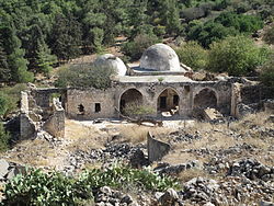 Aerial shot of the historic Maqam an-Nabi Yusha' shrine in 2013 | |
| Etymology: "the prophet Joshua"[1] | |
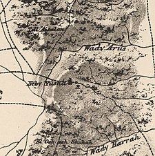
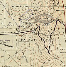
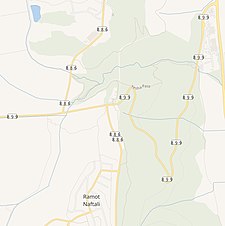
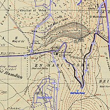
A series of historical maps of the area around Al-Nabi Yusha' (click the buttons) | |
Location within Mandatory Palestine | |
| Coordinates: 33°06′46″N 35°33′22″E / 33.11278°N 35.55611°E | |
| Palestine grid | 202/279 |
| Geopolitical entity | Mandatory Palestine |
| Subdistrict | Safad |
| Date of depopulation | May 16, 1948[4] |
| Area | |
| • Total | 3,617 dunams (3.617 km2 or 1.397 sq mi) |
| Population (1945) | |
| • Total | 70[2][3] |
| Cause(s) of depopulation | Military assault by Yishuv forces |
| Current Localities | Ramot Naftali |
Al-Nabi Yusha' (Arabic: النبي يوشع) was a small Palestinian village in the Galilee situated 17 kilometers to the northeast of Safad, with an elevation of 375 meters above sea level. It became part of the Palestine Mandate under British control from 1923 until 1948, when it was depopulated during the 1948 Arab-Israeli War. The village was surrounded by forest land overlooking the Hula Valley.
- ^ Palmer, 1881, p.92
- ^ Government of Palestine, Department of Statistics, 1945, p. 10
- ^ a b Government of Palestine, Department of Statistics. Village Statistics, April, 1945. Quoted in Hadawi, 1970, p. 70 Archived 2015-09-24 at the Wayback Machine
- ^ Morris, 2004, p. xvi, village #26. Also gives cause of depopulation.
