al-Qabu
القبو Qabu, Kabu | |
|---|---|
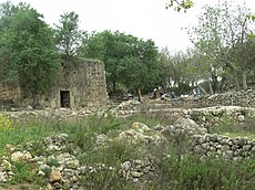
 The mosque for Shaykh Ahmad al-Umari | |
| Etymology: "the vault, or cellar"[1] | |
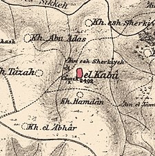
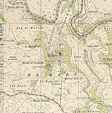
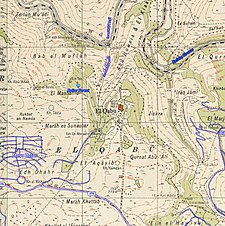
A series of historical maps of the area around Al-Qabu (click the buttons) | |
Location within Mandatory Palestine | |
| Coordinates: 31°43′40″N 35°07′10″E / 31.72778°N 35.11944°E | |
| Palestine grid | 161/126 |
| Geopolitical entity | Mandatory Palestine |
| Subdistrict | Jerusalem |
| Date of depopulation | 22–23 October 1948[4] |
| Area | |
| • Total | 3,806 dunams (3.806 km2 or 1.470 sq mi) |
| Population (1945) | |
| • Total | 260[2][3] |
| Cause(s) of depopulation | Military assault by Yishuv forces |
| Current Localities | Mevo Beitar |
Al-Qabu (Arabic: القبو, "the vault, or cellar")[1] was a Palestinian Arab village in the Jerusalem Subdistrict. The name is an Arabic variation of the site's original Roman name, and the ruins of a church there are thought to date to the era of Byzantine or Crusader rule over Palestine.
Al-Qabu was depopulated on 22–23 October 1948, following the 1948 Arab-Israeli War.[5][6] Following Israel's establishment, homes in the village were blown up by Israeli troops in May 1949 and in 1950, the moshav of Mevo Beitar was founded on the village lands.
- ^ a b Palmer, 1881, p. 297
- ^ Government of Palestine, Department of Statistics, 1945, p. 25
- ^ a b Government of Palestine, Department of Statistics. Village Statistics, April, 1945. Quoted in Hadawi, 1970, p. 58 Archived 2018-11-03 at the Wayback Machine
- ^ Morris, 2004, p. xx, village #348. Also gives cause of depopulation.
- ^ Khalidi, 1992, pp. 307-308.
- ^ Cite error: The named reference
Morrisp520was invoked but never defined (see the help page).


