Almendralejo | |
|---|---|
 Church of the Purification | |
| Coordinates: 38°41′N 6°25′W / 38.683°N 6.417°W | |
| Country | |
| Autonomous community | |
| Province | |
| Comarca | Tierra de Barros |
| Government | |
| • Mayor | José María Ramírez (PSOE, 2023) |
| Area | |
| • Total | 164.5 km2 (63.5 sq mi) |
| Elevation | 337 m (1,106 ft) |
| Population (2018)[1] | |
| • Total | 33,468 |
| • Density | 200/km2 (530/sq mi) |
| Demonym | Almendralejenses |
| Time zone | UTC+1 (CET) |
| • Summer (DST) | UTC+2 (CEST) |
| Postal code | 06200 |
| Official language(s) | Spanish |
| Website | Official website |
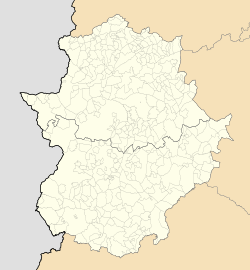
Almendralejo (Spanish: [almendɾaˈlexo] ) is a town in the Province of Badajoz, Extremadura, Spain. It is situated 45 km south-east of Badajoz, on the main road and rail route between Mérida and Seville. As of 2010[update], it has a population of 33,975. It was the site of a battle and massacre in 1936 during the Spanish Civil War.
- ^ Municipal Register of Spain 2018. National Statistics Institute.


