Alpine County, California | |
|---|---|
| Alpine County | |
|
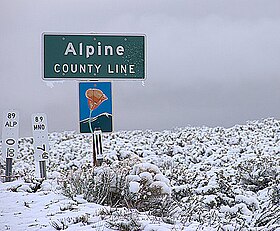
Images, from top down, left to right: an Alpine County line road sign during a snowstorm, Alpine County Courthouse, a view eastward from Carson Pass overlooking Red Lake | |
 Interactive map of Alpine County | |
 Location in the state of California | |
| Country | |
| State | |
| Region | Sierra Nevada |
| Incorporated | March 16, 1864[1] |
| Named for | Its location in the Sierra Nevada resembling the (Swiss) Alps |
| County seat | Markleeville |
| Largest community | Markleeville |
| Government | |
| • Type | Council–CAO |
| • Body | Board of Supervisors[2]
|
| • Chair | Irvin Jim |
| • Vice Chair | Terry Woodrow |
| • County Administrative Officer | Nichole Williamson |
| Area | |
• Total | 743 sq mi (1,920 km2) |
| • Land | 738 sq mi (1,910 km2) |
| • Water | 4.8 sq mi (12 km2) |
| Highest elevation | 11,464 ft (3,494 m) |
| Population (2020) | |
• Total | 1,204 |
| • Density | 1.6/sq mi (0.63/km2) |
| GDP | |
| • Total | $0.117 billion (2022) |
| Time zone | UTC−8 (Pacific Standard Time) |
| • Summer (DST) | UTC−7 (Pacific Daylight Time) |
| Area codes | 209, 530 |
| Congressional district | 3rd |
| GNIS feature ID | 1675840 |
| Website | www |
Alpine County is a county in the eastern part of the U.S. state of California located within the Sierra Nevada on the state border with Nevada. As of the 2020 Census, the population was 1,204,[5] making it California's least populous county. The county seat and largest community is Markleeville.[6]
- ^ "Alpine County General Plan" (PDF). February 2009. p. 7. Archived from the original (PDF) on July 21, 2011. Retrieved March 10, 2011.
- ^ "Board of Supervisors | Alpine County, CA - Official Website".
- ^ "Sonora Peak". Peakbagger.com. Retrieved March 30, 2015.
- ^ "Gross Domestic Product: All Industries in Alpine County, CA". Federal Reserve Economic Data. Federal Reserve Bank of St. Louis.
- ^ "Alpine County, California". United States Census Bureau. Retrieved January 30, 2022.
- ^ "NACo County Explorer". National Association of Counties. Retrieved June 7, 2011.


