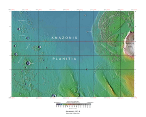
 Map of Amazonis quadrangle from Mars Orbiter Laser Altimeter (MOLA) data. The highest elevations are red and the lowest are blue. | |
| Coordinates | 15°00′N 157°30′W / 15°N 157.5°W |
|---|---|

The Amazonis quadrangle is one of a series of 30 quadrangle maps of Mars used by the United States Geological Survey (USGS) Astrogeology Research Program. The Amazonis quadrangle is also referred to as MC-8 (Mars Chart-8).[1]
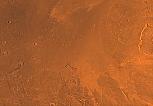
The quadrangle covers the area from 135° to 180° west longitude and 0° to 30° north latitude on Mars. The Amazonis quadrangle contains the region called Amazonis Planitia. This area is thought to be among the youngest parts of Mars because it has a very low density of craters. The Amazonian Epoch is named after this area. This quadrangle contains special, unusual features called the Medusae Fossae Formation and Sulci.
- ^ Davies, M.E.; Batson, R.M.; Wu, S.S.C. "Geodesy and Cartography" in Kieffer, H.H.; Jakosky, B.M.; Snyder, C.W.; Matthews, M.S., Eds. Mars. University of Arizona Press: Tucson, 1992.