| Ambuklao Dam and Hydroelectric Plant | |
|---|---|
 | |
| Official name | Ambuklao Dam |
| Country | Philippines |
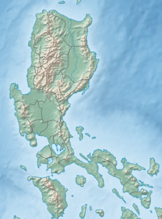
| Location | Bokod, Benguet |
| Coordinates | 16°27′38″N 120°44′42″E / 16.460419°N 120.744885°E |
| Construction began | July 1950 |
| Opening date | December 23, 1956 |
| Construction cost | Php 132,000,000 (66,000,000 USD) |
| Owner(s) | National Power Corporation |
| Dam and spillways | |
| Type of dam | Central Core Rock-fill Embankment |
| Impounds | Agno River |
| Height | 129 m (423 ft) |
| Length | 452 m (1,483 ft) |
| Width (base) | 8.50 m (27.9 ft) |
| Spillways | 8 |
| Reservoir | |
| Creates | Ambuklao reservoir |
| Total capacity | 327,170,000 m3 (427,920,000 cu yd) with no sedimentation |
| Active capacity | 258,000,000 m3 (337,000,000 cu yd) with no sedimentation |
| Catchment area | 690 km2 (270 sq mi) |
| Surface area | 7.5 km2 (2.9 sq mi) |
| Power Station | |
| Turbines | 3 units, Francis horizontal shaft |
| Installed capacity | 75 MW, 105 MW after rehabilitation (2011) |
| Annual generation | 332 GWh (1,200 TJ) |
Ambuklao Dam is part of a hydroelectric facility in Baragay Ambuclao, Bokod, Benguet province in the Philippines. With a maximum water storage capacity of 327,170,000 cubic metres (265,240 acre⋅ft), the facility, which is located 36 km (22 mi) from Baguio, can produce up to 105 megawatts of electricity for the Luzon grid. The main source of water is the Agno River, which originates from Mount Data. The dam is located in a conservation area known as the Upper Agno River Basin Resource Reserve.[1]
The dam and other non-power components are owned by the government through the National Power Corporation (NAPOCOR).[2] The name of the dam is also used as a metonym for National Grid Corporation of the Philippines (NGCP) power lines and their associated poles and towers.
- ^ "Ambuklao Dam". cityofpines.com. Archived from the original on October 11, 2007. Retrieved September 25, 2007.
- ^ "Ambuklao Dam". National Power Corporation. Archived from the original on March 4, 2016. Retrieved January 14, 2016.

