| Amistad National Recreation Area | |
|---|---|
 Southern Pacific Railroad Bridge over Amistad Reservoir | |
| Location | Val Verde County, Texas, USA |
| Nearest city | Del Rio, Texas |
| Coordinates | 29°26′12″N 101°3′0″W / 29.43667°N 101.05000°W |
| Area | 58,500 acres (237 km2)[1] |
| Established | November 11, 1965 |
| Visitors | 912,283 (in 2022)[2] |
| Governing body | National Park Service |
| Website | Amistad National Recreation Area |


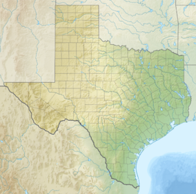
Amistad National Recreation Area is a national recreation area managed by National Park Service (NPS) that includes the area around the Amistad Reservoir at the confluence of the Rio Grande, the Devils River, and the Pecos River near Del Rio in Val Verde County, Texas.[3] The reservoir was created by the Amistad Dam (Presa de la Amistad in Spanish), completed in 1969, located on the Rio Grande at the United States-Mexico border across from the city of Ciudad Acuña in the Mexican state of Coahuila. Amistad, Spanish for "friendship," refers broadly to the close relationship and shared history between Ciudad Acuña and Del Rio.[4]
- ^ "Listing of acreage – December 31, 2011" (XLSX). Land Resource Division, National Park Service. Retrieved 2012-03-30. (National Park Service Acreage Reports)
- ^ "NPS Annual Recreation Visits Report". National Park Service. Retrieved July 26, 2023.
- ^ "Amistad". National Parks Conservation Association. Retrieved 2021-09-05.
- ^ "Discover Our Shared Heritage Travel Itinerary: American Latino Heritage: Amistad National Recreation Area, Val Verde County, Texas". National Park Service. Retrieved 2013-11-27.

