| Anglers Rest Victoria | |||||||||
|---|---|---|---|---|---|---|---|---|---|
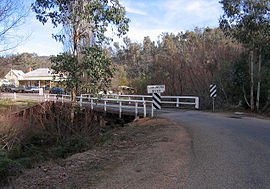
 Omeo Highway bridge crossing of the Cobungra River at Anglers Rest | |||||||||
| Coordinates | 36°59′0″S 147°29′0″E / 36.98333°S 147.48333°E | ||||||||
| Population | 21 (2016 census)[1] | ||||||||
| Postcode(s) | 3898 | ||||||||
| Elevation | 670.0 m (2,198 ft) | ||||||||
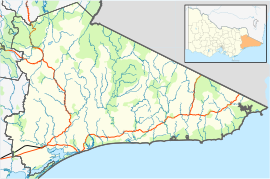
| Location | |||||||||
| LGA(s) | Shire of East Gippsland | ||||||||
| State electorate(s) | Gippsland East | ||||||||
| Federal division(s) | Gippsland | ||||||||
| |||||||||
Anglers Rest is a locality in Victoria, Australia. It is on the Omeo Highway, 28.5 kilometres (17.7 mi) north of Omeo in the Shire of East Gippsland,[2] almost totally surrounded by the Alpine National Park.[3]
- ^ Australian Bureau of Statistics (27 June 2017). "Anglers Rest (State Suburb)". 2016 Census QuickStats. Retrieved 24 August 2020.
- ^ "Place Names Search: Anglers Rest". Geoscience Australia. Commonwealth of Australia. Archived from the original on 10 October 2012. Retrieved 28 December 2010.
- ^ "Welcome: The Historic Pub on the banks of the Cobungra River". The Blue Duck Inn Hotel. Blue Duck Inn. Retrieved 28 December 2010.
