'Arab Suqrir
عرب صقرير | |
|---|---|
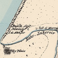
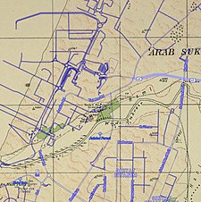
A series of historical maps of the area around Arab Suqrir (click the buttons) | |
Location within Mandatory Palestine | |
| Coordinates: 31°49′31″N 34°39′28″E / 31.82528°N 34.65778°E | |
| Palestine grid | 121/136 |
| Geopolitical entity | Mandatory Palestine |
| Subdistrict | Gaza |
| Date of depopulation | 25 May 1948[5] |
| Area | |
| • Total | 40,224 dunams (40.224 km2 or 15.531 sq mi) |
| Population (1945) | |
| • Total | 390[3][4] |
| Cause(s) of depopulation | Military assault by Yishuv forces |
| Current Localities | Bnei Darom[6] Netivot[7] Nir Galim,[1][8] Ashdod[1] |
'Arab Suqrir (Arabic: عرب صقرير) was a Palestinian Arab village in the Gaza Subdistrict, located 38 kilometers (24 mi) northeast of Gaza in a flat area with an elevation of 25 meters (82 ft) along the coastal plain just north of Isdud. The total land area of the village was 40,224 dunams, of which 12,270 was Arab-owned, while the remainder was public property. In 1931, it had a population of 530, decreasing to 390 in 1945. It was destroyed and depopulated during the 1948 Arab-Israeli War.[1]
- ^ a b c d Khalidi, 1992, p. 80
- ^ Cite error: The named reference
Census1931was invoked but never defined (see the help page). - ^ Department of Statistics, 1945, p. 31
- ^ a b Government of Palestine, Department of Statistics. Village Statistics, April, 1945. Quoted in Hadawi, 1970, p. 45
- ^ Morris, 2004, p. xix, village #254. Also gives the cause of depopulation
- ^ Petersen, 2001, p. 287
- ^ Morris, 2004, p. xxi, settlement #77
- ^ Morris, 2004, p. xxii, settlement #130


