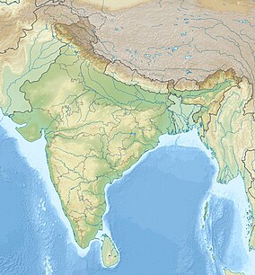
| Arabari Forest Range | |
|---|---|
 Arabari near Midnapore | |
| Location | Midnapore, West Bengal, India |
| Coordinates | 22°41′10″N 87°20′42″E / 22.68611°N 87.34500°E |
| Area | 1,272 hectares (3,140 acres) |
| Established | 1972 |
Arabari or Arabari Forest Range, is the name of a forest range in the West Midnapore district of West Bengal, India.[1] Conservation efforts were begun in 1972 by Divisional Forest Officer (Silviculture) Shri Ajit Kumar Banerjee, in an area of 1,272 ha by involving local people living around the forest boundary through a voluntary participation process. This process of greening the forest was brought about by setting up Joint Forest Management committees consisting of the local villagers and as result of their efforts a forest which was initially almost worthless became an economic boon to the villagers; the value of the forest area multiplied several times. Under this scheme the villagers actively involved with the conservation efforts in the forest derived the benefits of employment in silviculture and harvesting, sharing 25% of the profits from the forest produce and to collect firewood and fodder from the forest area on a nominal fee. This scheme is still practiced in Arabari.[2][3]
- ^ "Medinipur". Arabari Forest Range. Official Website of West Bengal Tourism. Archived from the original on 2015-10-01.
- ^ CCE Series Science [Continuous and Comprehensive Evaluation] Term 2: Summative Assessment. Vk Publications. p. 118. ISBN 978-93-81015-02-5.
- ^ Deep, p. 49.

