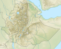
| Azef River | |
|---|---|
 Azef waterfall | |
Azef River in Dogu’a Tembien | |
| Location | |
| Country | Ethiopia |
| Region | Tigray Region |
| District (woreda) | Dogu’a Tembien |
| Physical characteristics | |
| Source | |
| • location | Iriya in Haddinnet municipality |
| • elevation | 2,475 m (8,120 ft) |
| 2nd source | |
| • location | Azef in Haddinnet municipality |
| Mouth | Agefet River |
• location | Da’eda’e at the border of Dogu’a and Kola Tembien |
• coordinates | 13°47′46″N 39°14′20″E / 13.796°N 39.239°E |
• elevation | 1,725 m (5,659 ft) |
| Length | 12 km (7.5 mi) |
| Width | |
| • average | 12 m (39 ft) |
| Basin features | |
| River system | Seasonal river |
| Waterfalls | Azef |
| Topography | Mountains and deep gorges |
The Azef is a river in the Nile basin. Rising in the mountains of Dogu’a Tembien in northern Ethiopia, it flows northward to empty finally into the Weri’i which in turn discharges into Tekezé River.[1]

- ^ Jacob, M. and colleagues (2019). Geo-trekking map of Dogu'a Tembien (1:50,000). In: Geo-trekking in Ethiopia's Tropical Mountains - The Dogu'a Tembien District. SpringerNature. ISBN 978-3-030-04954-6.
