Baku Governorate
Бакинская губерния (Russian) | |
|---|---|
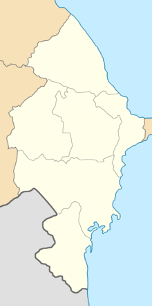
 Administrative map of the Baku Governorate (1905–1917) | |
| Country | Russian Empire |
| Viceroyalty | Caucasus |
| Established | 1846 |
| Abolished | 1920 |
| Capital | Baku |
| Area | |
| • Total | 37,948.97 km2 (14,652.18 sq mi) |
| Highest elevation | 4,466 m (14,652 ft) |
| Population (1916) | |
| • Total | 875,746 |
| • Density | 23/km2 (60/sq mi) |
| • Urban | 8.28% |
| • Rural | 91.72% |
| History of Azerbaijan |
|---|
 |
|
|
The Baku Governorate,[a] known before 1859 as the Shemakha Governorate,[b] was a province (guberniya) of the Caucasus Viceroyalty of the Russian Empire, with its center in the booming metropolis and Caspian Sea port of Baku. Area (1897): 34,400 sq. versts, population (1897): 789,659.[2] The Baku Governorate bordered Persia to the south, the Elizavetpol Governorate (the Tiflis and Erivan governorates before 1868) to the west, the Dagestan Oblast to the north, and the Baku gradonachalstvo to the east on the Absheron Peninsula.
- ^ Heydarov, Tale; Farrell, Janice; Peart, Ian (2011). "The announcement bringing to the people the Baku governor's decision on the establishment of peace between Armenians and Azerbaijanis". The Armenian Question in the Caucasus: Russian Archive Documents and Publications (in Russian and Azerbaijani). Apollo Books. pp. 190–191. ISBN 978-0-86372-405-3 – via Google Books.
باكو غوبیرنیاسنڭ غوبرناتوری تاینی سوویتنڭ کنیاز ناکاسیدزی.
- ^ ЭСБЕ/Баку (in Russian). Brockhaus and Efron Encyclopedic Dictionary. Retrieved 5 June 2016.
Cite error: There are <ref group=lower-alpha> tags or {{efn}} templates on this page, but the references will not show without a {{reflist|group=lower-alpha}} template or {{notelist}} template (see the help page).
