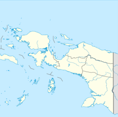
| Baliem River Vriendschaps River | |
|---|---|
| Physical characteristics | |
| Source | |
| • location | Lake Habbema, Indonesia |
| • coordinates | 4°8′14″S 138°39′33″E / 4.13722°S 138.65917°E |
| • elevation | 3,300 m (10,800 ft) |
| Mouth | |
• location | Pulau River |
• coordinates | 5°28′32″S 138°52′56″E / 5.47556°S 138.88222°E |
• elevation | 20 m (66 ft) |
| Length | 414.2 km (257.4 mi) |
| Basin size | 12,000 km2 (4,600 sq mi) |
| Width | |
| • minimum | 15 m (49 ft)(Wamena, Upper Baliem) |
| • maximum | 20 m (66 ft)(Wamena, Upper Baliem) |
| Depth | |
| • minimum | 0.6 m (2 ft 0 in)(Wamena, Upper Baliem) |
| • maximum | 3.7 m (12 ft)(Wamena, Upper Baliem) |
| Discharge | |
| • location | Near mouth |
| • average | 702 m3/s (24,800 cu ft/s) |
The Baliem River (or Vriendschaps River) is a river in the Highland Papua and South Papua provinces of Western New Guinea, Indonesia.[1] It is the largest tributary of the Pulau River, formerly called the Eilanden River. With a total length of 414.2 km (257.4 mi).
- ^ Rand McNally, The New International Atlas, 1993.
