This article needs additional citations for verification. (August 2020) |
Barstow-Daggett Airport | |||||||||||||||
|---|---|---|---|---|---|---|---|---|---|---|---|---|---|---|---|
 USGS aerial image, 2006 | |||||||||||||||
| Summary | |||||||||||||||
| Airport type | Public | ||||||||||||||
| Owner | County of San Bernardino | ||||||||||||||
| Serves | Barstow & Daggett, California | ||||||||||||||
| Elevation AMSL | 1,930 ft / 588 m | ||||||||||||||
| Coordinates | 34°51′13″N 116°47′12″W / 34.85361°N 116.78667°W | ||||||||||||||
| Website | cms | ||||||||||||||
| Map | |||||||||||||||
 | |||||||||||||||
| Runways | |||||||||||||||
| |||||||||||||||
| Statistics (2006) | |||||||||||||||
| |||||||||||||||

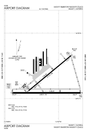
Barstow-Daggett Airport (IATA: DAG, ICAO: KDAG, FAA LID: DAG) is a county-owned public airport in San Bernardino County, California, United States. It is five miles (8 km) east of Daggett[1] and 14 miles (23 km) east of Barstow.[2] Built in 1933, it is the oldest of the six airports operated by San Bernardino County.
- ^ a b FAA Airport Form 5010 for DAG PDF. Federal Aviation Administration. Effective 29 July 2010.
- ^ "Distance and heading from Barstow to DAG". Great Circle Mapper. Retrieved 6 August 2010.
