| Bean Creek Arcadia Creek[1] | |
|---|---|
 Bean Creek as it runs through Mount Hermon, California | |
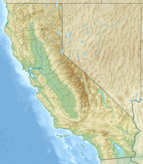
Location of the mouth of Bean Creek in Felton, California | |
| Location | |
| Country | United States |
| State | California |
| Region | Santa Cruz County |
| Municipality | Felton, California |
| Physical characteristics | |
| Source | |
| • coordinates | 37°07′51″N 121°58′57″W / 37.13083°N 121.98250°W[2] |
| • elevation | 1,920 ft (590 m) |
| Mouth | Zayante Creek |
• location | Felton, California |
• coordinates | 37°03′5″N 122°03′41″W / 37.05139°N 122.06139°W[2] |
• elevation | 266 ft (81 m)[2] |
| Basin features | |
| Tributaries | |
| • right | Mackenzie Creek, Ruins Creek, Lockhart Gulch |
Bean Creek is a 9.1-mile-long (14.6 km)[3] stream that rises on the western slopes of the Santa Cruz Mountains and discharges to Zayante Creek. This stream traverses relatively rugged, forested lands and is the locus of an important fossil bearing formation.[4] These fossils are embedded in the Lower Santa Margarita Formation and include Astrodapsis spatiosus;also rare species of gastropod Thais cf. lapillis, and shark teeth (e.g. Isurus hastalis). After joining Zayante Creek, the flows reach the San Lorenzo River and then the Pacific Ocean at Santa Cruz, California.
- ^ Cite error: The named reference
Clarkwas invoked but never defined (see the help page). - ^ a b c "Bean Creek". Geographic Names Information System. United States Geological Survey, United States Department of the Interior.
- ^ U.S. Geological Survey. National Hydrography Dataset high-resolution flowline data. "The National Map". Archived from the original on 2012-03-29., accessed March 15, 2011
- ^ "Fossil Locations of the San Francisco Bay Area". Archived from the original on November 19, 2004.
