| Beaver River | |
|---|---|
 The Beaver south of Lac La Biche, Alberta | |
 Churchill River drainage basin | |
| Location | |
| Country | Canada |
| Provinces | |
| Physical characteristics | |
| Source | Beaver Lake |
| • location | Lac La Biche County, Alberta |
| • coordinates | 54°43′40″N 111°54′04″W / 54.72778°N 111.90111°W |
| • elevation | 618 m (2,028 ft) |
| Mouth | Lac Île-à-la-Crosse |
• location | Division 18, Saskatchewan |
• coordinates | 55°25′51″N 107°45′35″W / 55.43083°N 107.75972°W |
• elevation | 421 m (1,381 ft) |
| Length | 491 km (305 mi) |
| Basin features | |
| River system | Churchill River drainage basin |
| [2] | |

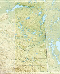
Beaver River[3] is a large river in east-central Alberta and central Saskatchewan, Canada. It flows east through Alberta and Saskatchewan and then turns sharply north to flow into Lac Île-à-la-Crosse on the Churchill River which flows into Hudson Bay.
Beaver River has a catchment area of 14,500 square kilometres (5,600 sq mi) in Alberta,[4] where it drains the lake system in Lac La Biche County. The total length is 491 kilometres (305 mi).[5] It was first documented on the Turnor map of 1790, and then confirmed on the Harmon map of 1820.[6]
- ^ Online Cree Dictionary. "ᐊᒥᐢᑯ ᓰᐱᕀ". Retrieved 26 September 2018.
- ^ "Atlas of Canada Toporama". Retrieved 11 October 2014.
- ^ "Beaver River". Canadian Geographical Names Database. Government of Canada. Retrieved 14 June 2022.
- ^ Environment Alberta Archived 2007-01-16 at the Wayback Machine - River basins
- ^ Atlas of Canada. "Rivers in Canada". Archived from the original on 4 April 2007. Retrieved 1 May 2007.
- ^ Atlas of Alberta Lakes Archived 2011-07-19 at the Wayback Machine - Beaver Lake

