| Bethungra New South Wales | |
|---|---|
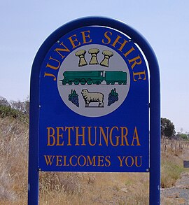
 Entering Bethungra | |
| Coordinates | 34°46′0″S 147°51′0″E / 34.76667°S 147.85000°E |
| Population | 164 (2016 census)[1] |
| Postcode(s) | 2590 |
| Elevation | 310 m (1,017 ft) |
| Location |
|
| LGA(s) | Junee Shire |
| County | Clarendon |
| State electorate(s) | Cootamundra |
| Federal division(s) | Riverina |
Bethungra is a locality in Junee Shire in the South West Slopes region of New South Wales, Australia situated on the Olympic Highway about 13 kilometres northeast of Illabo and 24 kilometres southwest of Cootamundra.[3]
- ^ Australian Bureau of Statistics (27 June 2017). "Bethungra (State Suburb)". 2016 Census QuickStats. Retrieved 26 August 2019.
- ^ Travelmate Archived 24 March 2007 at the Wayback Machine
- ^ "Bethungra". Geographical Names Register (GNR) of NSW. Geographical Names Board of New South Wales. Retrieved 20 January 2010.
