Bhamo
ဗန်းမော်မြို့ (ဝဵင်းမၢၼ်ႈမူဝ်ႇ) Hsinkai[1] | |
|---|---|
 | |
| Coordinates: 24°16′0″N 97°14′0″E / 24.26667°N 97.23333°E | |
| Country | |
| Division | |
| District | Bhamo District |
| Township | Bhamo Township |
| Population (2005) | |
| • Total | 47,920[2] |
| • Ethnicities | Shan Kachin Chinese Bamar |
| • Religions | Theravada Buddhism |
| Time zone | UTC+6.30 (MST) |
| Climate | Cwa |
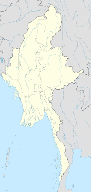
Bhamo (Burmese: ဗန်းမော်မြို့ ban: mau mrui., also spelt Banmaw; Shan: မၢၼ်ႈမူဝ်ႇ; Tai Nüa: ᥛᥫᥒᥰ ᥛᥨᥝᥱ; Chinese: 新街, Hsinkai) is a city in Kachin State in northern Myanmar, 186 km (116 mi) south of the state capital, (Myitkyina). It is on the Ayeyarwady River. It lies within 65 km (40 mi) of the border with Yunnan Province, China.[3] The population consists of Chinese and Shan, with Kachin peoples in the hills around the town. It is the administrative center of Bhamo District and Bhamo Township.
- ^ "An Introduction to the Toponymy of Burma" The Permanent Committee of Geographic Names (PCGN), United Kingdom, October 2007, page 12, accessed 18 April 2010
- ^ "Population of Bhamo, Myanmar". Archived from the original on 20 June 2015. Retrieved 20 June 2015.
- ^ "Bhamo", Encyclopædia Britannica
