 River and flatlands of Bhola | |
| Geography | |
|---|---|
| Location | Bay of Bengal |
| Coordinates | 22°30′N 90°45′E / 22.500°N 90.750°E |
| Area | 1,295 km2 (500 sq mi)[1] |
| Length | 90 km (56 mi) |
| Width | 25 km (15.5 mi) |
| Coastline | 550 km (342 mi)[1] |
| Highest elevation | 10 m (30 ft)[1] |
| Highest point | Unnamed |
| Administration | |
Bangladesh | |
| Division | Barisal Division |
| District | Bhola District |
| Demographics | |
| Demonym | Bholaya |
| Population | 1,800,000 (2020)[2] |
| Pop. density | 1,078/km2 (2792/sq mi) |
| Languages | Bengali |
| Ethnic groups | Bengalis |
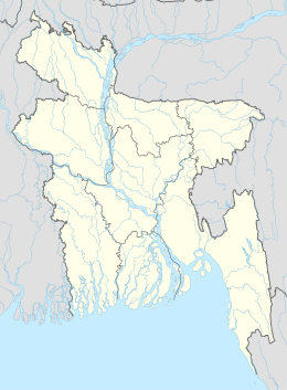
Bhola Island (also called Dakhin Shahbazpur) is the largest island of Bangladesh with an area of 1,295 km2 (500 sq mi) and a coastline of 324 km (201 mi).[1] It accounts for most of the land area of Bhola District in Barisal Division.[3]
- ^ a b c d "Bhola". world-islands.net. 10 December 2023. Retrieved 8 August 2024.
- ^ Bangladesh population and housing census 2011 : zila report Bhola. [Dhaka]: Parisaṃkhyāna Byuro, Bangladesh. Parisaṃkhyāna Byuro. Statistics and Informatics Division. 2015. ISBN 978-984-33-8653-3. OCLC 978250366.
- ^ Md Sakhaowat Hossain (2012). "Bhola District". In Sirajul Islam and Ahmed A. Jamal (ed.). Banglapedia: National Encyclopedia of Bangladesh (Second ed.). Asiatic Society of Bangladesh.
