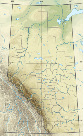
| Big Knife Provincial Park | |
|---|---|
| Location | County of Paintearth No. 18, |
| Nearest city | Forestburg, Camrose |
| Coordinates | 52°29′23″N 112°12′38″W / 52.48972°N 112.21056°W |
| Area | 2.44 km2 (0.94 sq mi) |
| Established | October 2, 1962 |
| Governing body | Alberta Tourism, Parks and Recreation |
 | |
Big Knife Provincial Park is a small provincial park in central Alberta, Canada.[1] It is located at the confluence between Big Knife Creek and the Battle River between the villages of Donalda and Forestburg, 10 km south of Highway 53, 88 km from the city of Camrose.
