Big Sandy, Texas | |
|---|---|
 Downtown Big Sandy | |
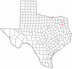
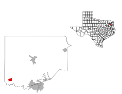
 Location of Big Sandy, Texas | |
 | |
| Coordinates: 32°35′09″N 95°07′18″W / 32.58583°N 95.12167°W | |
| Country | United States |
| State | Texas |
| County | Upshur |
| Area | |
| • Total | 1.66 sq mi (4.31 km2) |
| • Land | 1.62 sq mi (4.21 km2) |
| • Water | 0.04 sq mi (0.10 km2) |
| Elevation | 433 ft (132 m) |
| Population (2020) | |
| • Total | 1,231 |
| • Density | 869.46/sq mi (335.63/km2) |
| Time zone | UTC-6 (Central (CST)) |
| • Summer (DST) | UTC-5 (CDT) |
| ZIP code | 75755, 75797 |
| Area code | 903 |
| FIPS code | 48-08224[3] |
| GNIS feature ID | 2411688[2] |
| Website | bigsandytx |


Big Sandy is a town in Upshur County, Texas, United States. As of the 2020 census, the town's population was 1,231.[4] A lake of the same name is cut nearly in half by U.S. Highway 80, the main thoroughfare of Big Sandy. It lies directly west of the larger cities of Gladewater and Longview.
The Sabine River flows just south of Big Sandy. In the 19th century, Walters' Bluff Ferry operated on the Sabine, with passage across costing 40 cents per person and up to 75 cents for wagons.[5]
- ^ "2019 U.S. Gazetteer Files". United States Census Bureau. Retrieved August 7, 2020.
- ^ a b U.S. Geological Survey Geographic Names Information System: Big Sandy, Texas
- ^ "U.S. Census website". United States Census Bureau. Retrieved January 31, 2008.
- ^ "Population and Housing Unit Counts, 2010 Census of Population and Housing" (PDF). Texas: 2010. Retrieved January 2, 2017.
- ^ Texas Historical Commission, historical marker on Sabine River