| Black Cap Mountain | |
|---|---|
Penobscot County, Maine, U.S. | |
| Highest point | |
| Elevation | 1,020 ft (310 m) |
| Prominence | 570 ft (170 m) |
| Coordinates | 44°45′13″N 68°33′58″W / 44.753611°N 68.566111°W |
| Geography | |
| Location | Penobscot County, Maine, U.S. |
| Climbing | |
| Easiest route | Hiking, class 1 |

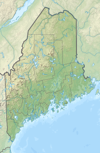
Black Cap Mountain is a 1,020 foot (310 m) mountain in Penobscot County, Maine, United States.[1] The mountain is 5 miles (8.0 km) southeast of Eddington, Maine, and the Penobscot River.[2] It is accessible from Maine Route 46, near its intersection with The Airline (State Route 9).
The mountain is named for its granite peak, which is mostly bare with a few scrubby trees. From the mountain there is a panoramic view of western Maine, the Western Maine Mountains, and the eastern portion of the White Mountain National Forest.[3]
- ^ "Blackcap Mountain - Peakbagger.com". peak bagger.
- ^ Williams, Chase. History of Penobscot County, Maine. p. 33. ISBN 9785873772766.
- ^ Cite error: The named reference
Cranmorewas invoked but never defined (see the help page).
