| Black Forest Adelaide, South Australia | |||||||||||||||
|---|---|---|---|---|---|---|---|---|---|---|---|---|---|---|---|
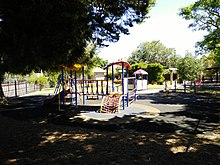
 Forest Avenue Reserve | |||||||||||||||
| Coordinates | 34°57′50″S 138°34′34″E / 34.964°S 138.576°E | ||||||||||||||
| Population | 1,982 (SAL 2021)[1] | ||||||||||||||
| Established | 1850[2] | ||||||||||||||
| Postcode(s) | 5035[3] | ||||||||||||||
| Area | 1.63 km2 (0.6 sq mi) | ||||||||||||||
| Location | 4.7 km (3 mi) SW of Adelaide city centre[3] | ||||||||||||||
| LGA(s) | City of Unley | ||||||||||||||
| State electorate(s) | Badcoe | ||||||||||||||
| Federal division(s) | Boothby | ||||||||||||||
| |||||||||||||||


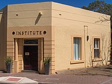
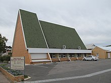
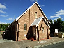
Black Forest is an inner southern suburb of Adelaide, South Australia. It is located in the City of Unley, bounded by the Glenelg tram line (north-west), the Seaford railway line (south-east), South Road (west) and East Avenue (east).[4]
- ^ Australian Bureau of Statistics (28 June 2022). "Black Forest (suburb and locality)". Australian Census 2021 QuickStats. Retrieved 28 June 2022.
- ^ "How Unley Developed". City of Unley. Archived from the original on 27 December 2008. Retrieved 1 January 2011.
- ^ a b "Black Forest, South Australia (Adelaide)". Postcodes-Australia.com. Retrieved 16 April 2011.
- ^ Adelaide and surrounds street directory (47th ed.). UBD. 2009. ISBN 978-0-7319-2336-6.
