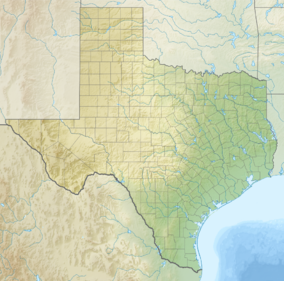
| Black Kettle National Grassland | |
|---|---|
 A homestead structure in Black Kettle National Grassland | |
| Location | Roger Mills County, Oklahoma and Hemphill County, Texas, United States |
| Nearest city | Cheyenne, OK |
| Coordinates | 35°37′00″N 99°41′12″W / 35.6166°N 99.68655°W |
| Area | 31,286 acres (12,661 ha)[1] |
| Established | 1960 |
| Governing body | U.S. Forest Service |
| Website | Black Kettle and McClellan Creek National Grasslands |
The Black Kettle National Grassland, in Roger Mills County, Oklahoma, and Hemphill County, Texas, contains 31,286 acres (12,661 ha) of which 30,710 acres (12,430 ha) are in Oklahoma.[1]
Named for the Indian leader Black Kettle, the grassland is managed by the Cibola National Forest, which also manages the Rita Blanca National Grassland in Dallam County, Texas and Cimarron County, Oklahoma, and McClellan Creek National Grassland in Gray County, Texas.[2]
- ^ a b "Land Areas of the National Forest System". U.S. Forest Service. January 2013. Archived from the original on December 1, 2012. Retrieved December 8, 2012.
- ^ "Cibola National Forest and National Grasslands". U.S. Forest Service. Retrieved December 8, 2012.


