| Black Nubble | |
|---|---|
Franklin County, Maine, U.S. | |
| Highest point | |
| Elevation | 3700+ ft (1128+ m) NGVD 29[1] |
| Prominence | 900 ft (270 m)[1] |
| Coordinates | 45°01′56″N 70°26′50″W / 45.032278°N 70.44729°W[2] |
| Geography | |
| Location | Franklin County, Maine, U.S. |
| Topo map | USGS Black Nubble |
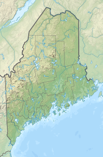
Black Nubble is a mountain located in Franklin County, Maine. Black Nubble is flanked to the southeast by Mount Redington. The U.S. Navy Survival Escape and Evasion Training Facility (USSEAETF) is located just south of Redington.
Black Nubble stands within the watershed of the Kennebec River, which drains into the Gulf of Maine. The east side of Black Nubble drains into Nash Stream, then into the South Branch of the Dead River, Flagstaff Lake, the Dead River and the Kennebec. The west side of Black Nubble drains into the West Branch of Nash Stream. The south end of Black Nubble drains into Orbeton Stream, then into the Sandy River, another tributary of the Kennebec River.
- ^ a b "Black Nubble, Maine". Peakbagger.com. Retrieved 2010-03-16.
- ^ "562472". Geographic Names Information System. United States Geological Survey, United States Department of the Interior. Retrieved 2010-03-16.
