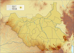
| Boma National Park | |
|---|---|
| Coordinates | 6°29′N 33°55′E / 6.483°N 33.917°E |
| Area | 22,800 km2 (8,800 sq mi) |
| Established | 1977 |
 | |
Boma National Park is a protected area in eastern South Sudan near the Ethiopian border. It was established in 1977 and covers 22,800 km2 (8,800 sq mi) of grasslands and floodplains.[1]
The park is in the Somali-Maasai and Sudano-Guinean biomes. The southern part of the park has extensive short grasslands and acacia bush. Woodland, mostly the Combretum and Ficus species, is in the eastern part. The western part is open grassland. Wetlands can be found, and though most are seasonal there are some permanent waterholes.[2] The largest is the Juom Swamp in the north.
In August 2022, African Parks signed a 10-year renewable agreement with the government of South Sudan to restore Boma and Bandingilo National Parks and realise their potential as premier wildlife destinations.[3]
- ^ World Database on Protected Areas[permanent dead link]
- ^ "Biodiversity Conservation". African Parks. Retrieved 20 February 2024.
- ^ "Government of South Sudan Signs Major Agreement with African Parks to Manage Boma and Badingilo National Parks". www.africanparks.org. Retrieved 2023-05-22.
