| Bowland Forest Low | |
|---|---|
| Civil parish | |
 | |
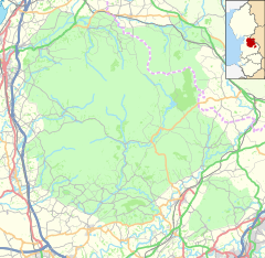
Location within Lancashire | |
| Area | 18.0135 km2 (6.9551 sq mi) |
| Population | 160 (2011 Census) |
| • Density | 9/km2 (23/sq mi) |
| OS grid reference | SD675455 |
| Civil parish |
|
| District | |
| Shire county | |
| Region | |
| Country | England |
| Sovereign state | United Kingdom |
| Post town | CLITHEROE |
| Postcode district | BB7 |
| Dialling code | 01254/01200 |
| Police | Lancashire |
| Fire | Lancashire |
| Ambulance | North West |
| UK Parliament | |
Bowland Forest Low is a civil parish in the Ribble Valley district of Lancashire, England, covering some 5,500 acres (22 km2) of the Forest of Bowland. According to the 2001 census, the parish had a population of 168, falling to 160 at the 2011 Census.[1] The parish includes the hamlets of Whitewell and Cow Ark. From northwards clockwise, it borders the civil parishes of Newton, Bashall Eaves, Aighton, Bailey and Chaigley, Bowland-with-Leagram and Bowland Forest High. Before 1974, it formed part of Bowland Rural District in the West Riding of Yorkshire.
- ^ UK Census (2011). "Local Area Report – Bowland Forest Low Parish (1170215098)". Nomis. Office for National Statistics. Retrieved 24 February 2018.


