| Bruneau River | |
|---|---|
 Bruneau River in southwestern Idaho | |
| Location | |
| Country | United States |
| State | Idaho, Nevada |
| Counties | Owyhee County, Idaho Elko County, Nevada |
| Physical characteristics | |
| Source | |
| • location | Jarbidge Mountains, Elko County, Nevada |
| • coordinates | 41°34′42″N 115°24′50″W / 41.57833°N 115.41389°W[1] |
| • elevation | 8,061 feet (2,457 m)[1] |
| Mouth | Snake River |
• location | C. J. Strike Reservoir, Owyhee County, Idaho |
• coordinates | 42°56′57″N 115°57′43″W / 42.94917°N 115.96194°W[1] |
• elevation | 2,457 feet (749 m)[1] |
| Length | 153 miles (246 km) |
| Basin size | 3,305 sq mi (8,560 km2)[2] |
| Discharge | |
| • location | Hot Springs gage 131685000[2] |
| • average | 388 cu ft/s (11.0 m3/s)[2] |
| Basin features | |
| Tributaries | |
| • left | Clover Creek |
| • right | Jarbidge River |
| Type | Wild, Recreational |
| Designated | March 30, 2009 |
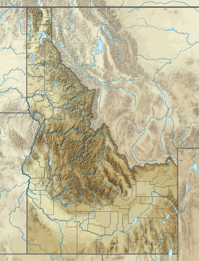
The Bruneau River is a 153-mile-long (246 km)[3][4] tributary of the Snake River in the western United States, located in Idaho and Nevada. It runs through a narrow canyon cut into ancient lava flows in southwestern Idaho. The Bruneau Canyon, which is up to 1,200 feet (370 m) deep and forty miles (65 km) long, features rapids and hot springs, making it a popular whitewater trip.
The Bruneau River's drainage basin is bounded by the Jarbidge Mountains to the southeast, the Owyhee Mountains and Chalk Hills to the west, and the Bruneau Plateau to the east.[2]
- ^ a b c d "Bruneau River". Geographic Names Information System. United States Geological Survey, United States Department of the Interior.
- ^ a b c d "Bruneau Subbasin Plan, Assessment" (PDF). Archived from the original (PDF) on February 13, 2012. Retrieved September 13, 2008., Northwest Power and Conservation Council
- ^ U.S. Geological Survey. National Hydrography Dataset high-resolution flowline data.
- ^ "The National Map". Archived from the original on March 29, 2012. Retrieved May 3, 2011.

