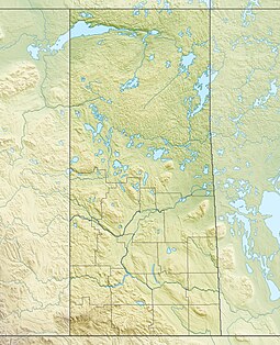
| Buffalo Pound Provincial Park | |
|---|---|
 Buffalo Pound Provincial Park | |
| Location | RM of Moose Jaw No. 161, Saskatchewan, Canada |
| Nearest city | Moose Jaw |
| Coordinates | 50°35′14″N 105°23′45″W / 50.58722°N 105.39583°W |
| Created | 1963 |
| Named for | Buffalo Pound Lake |
| Governing body | Saskatchewan Parks |
| Website | Buffalo Pound Park |
 | |
Buffalo Pound Provincial Park is in southern Saskatchewan, Canada, about 30 kilometres (19 mi) north-east of Moose Jaw and 86 kilometres (53 mi) north-west of the city of Regina.[2] Access to the provincial park is from Highways 301 and 202.
The park centres on Buffalo Pound Lake, a prairie lake formed from glaciation about 10,000 years ago.[3] Seasonal recreation activities include swimming (two public beaches and a pool), camping, fishing, mini-golf, biking, hiking, and access to the Trans Canada Trail. The park also features a captive herd of buffalo, along with the Nicolle Flats Marsh where a variety of wildlife can be observed. There is also a trout pond, known as Buffalo Pond, which is stocked with rainbow, brown, and tiger trout.[4][5]
- ^ "Buffalo Pound Provincial Park". Saskatchewan Parks. 2016. Retrieved 31 July 2017.
- ^ "Buffalo Pound Provincial Park" (Map). Google Maps. Retrieved 31 July 2017.
- ^ "Buffalo Pound Lake Land Use And Resource Management Plan" (PDF). Retrieved 24 January 2009. [dead link]
- ^ "Publication Centre". Archived from the original on 3 November 2015.
- ^ "Provincial Parks". The Encyclopedia of Saskatchewan. University of Regina. Archived from the original on 20 September 2022. Retrieved 20 September 2022.

