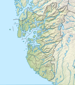
| Byrkjelandsvatnet | |
|---|---|
| Birkelandsvatnet Storavatnet | |
| Location | Bjerkreim, Rogaland |
| Coordinates | 58°42′23″N 6°08′34″E / 58.7064°N 06.1427°E |
| Type | fjord lake |
| Primary outflows | Malmeisåna river |
| Basin countries | Norway |
| Max. length | 7.5 km (4.7 mi) |
| Max. width | 2 km (1.2 mi) |
| Surface area | 5.17 km2 (2.00 sq mi) |
| Max. depth | 90 m (300 ft) |
| Shore length1 | 22.36 km (13.89 mi) |
| Surface elevation | 179 m (587 ft) |
| References | NVE |
| 1 Shore length is not a well-defined measure. | |
Byrkjelandsvatnet or Storavatnet is a lake in the municipality of Bjerkreim in Rogaland county, Norway.[1] The 5.17-square-kilometre (2.00 sq mi) lake lies about 2 kilometres (1.2 mi) north of the village of Øvrebygd. The lake flows out through the short river Malmeisåna which flows into the lake Hofreistæ.
- ^ "Birkelandsvatnet, Bjerkreim (Rogaland)" (in Norwegian). yr.no. Retrieved 2016-05-01.

