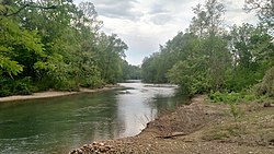
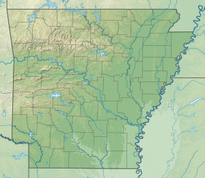
| Caddo River | |
|---|---|
 Caddo River at Norman | |
| Location | |
| Country | United States |
| State | Arkansas |
| Physical characteristics | |
| Source | Caddo Mountains |
| • location | Ouachita Mountains |
| • coordinates | 34°27′9″N 93°55′22″W / 34.45250°N 93.92278°W[1] |
| • elevation | 1,400 ft (430 m)[2] |
| Mouth | Ouachita River |
• location | near Arkadelphia, Arkansas |
• coordinates | 34°10′48″N 93°2′36″W / 34.18000°N 93.04333°W[1] |
• elevation | 144 ft (44 m)[2] |
| Length | 82 mi (132 km)[2] |
| Discharge | |
| • location | USGS gage 07359610, near Caddo Gap, AR[3] |
| • average | 267 cu ft/s (7.6 m3/s)[3] |
| • minimum | 16 cu ft/s (0.45 m3/s) |
| • maximum | 28,600 cu ft/s (810 m3/s) |
The Caddo River is a tributary of the Ouachita River in the U.S. state of Arkansas. The river is about 82 miles (132 km) long.[2]
- ^ a b U.S. Geological Survey Geographic Names Information System: Caddo River
- ^ a b c d Calculated in Google Maps and Google Earth
- ^ a b "Water resources data for the United States, Water Year 2009; gage 07359610, Caddo River near Caddo Gap, AR" (PDF). USGS. Retrieved 4 August 2010.
