| Caldeira Volcano | |
|---|---|
 Caldeira Volcano seen from space | |
| Highest point | |
| Elevation | 1,043 m (3,422 ft)[1] |
| Coordinates | 38°35′09″N 28°42′53.6″W / 38.58583°N 28.714889°W |
| Geography | |
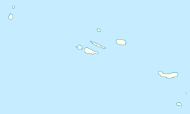
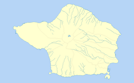
| Location | Faial Island, Azores |
| Parent range | Mid-Atlantic Ridge |
| Geology | |
| Age of rock | 470,000 - 11,000 Years |
| Mountain type | Volcanic crater/Stratovolcano |
| Last eruption | 1958 |
| Climbing | |
| Easiest route | YDS Grade I |
The Caldeira Volcano (Portuguese: Vulcão da Caldeira) is the highest mountain, massive stratovolcano and the largest geomorphological structure that forms the island of Faial. The mountain's highest point, Cabeço Gordo, reaches 1,043 metres (3,422 ft) above sea level. One of the most notable features of this volcano is its two kilometer wide caldera, that is 400 m (1,300 ft) in depth below the crater rim.


