| Caney Creek Wilderness | |
|---|---|
| Coordinates | 34°24′16″N 94°04′09″W / 34.404399°N 94.069176°W |
| Area | 14,460 acres (5,850 ha) |
| Created | 1975 |
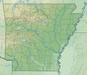
The Caney Creek Wilderness is a rugged 14,460-acre (58.5 km2) segment of the Ouachita National Forest near the mountain town of Mena, Arkansas.[2] It was designated by Congress in 1975 as the first wilderness area in Arkansas. The wilderness' main drainage and namesake, Caney Creek, winds through old-growth bottomland forest and is surrounded by tall, steep ridges, with the clear Cossatot River bordering the wilderness on the west side. The wilderness is known for exceptional air and water quality as well as virgin forest and excellent vistas.
- ^ Protected Area Profile for Caney Creek Wilderness Archived March 21, 2024, at the Wayback Machine from the World Database on Protected Areas. Retrieved March 21, 2024.
- ^ "Wilderness Areas" (PDF). Ouachita National Forest. Retrieved 2016-05-10.

