Cape Bridgman
Kap Bridgman | |
|---|---|
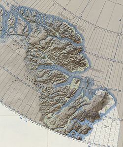
 Map of Greenland section. | |
| Coordinates: 83°25′N 26°42′W / 83.417°N 26.700°W | |
| Location | Northeast Greenland National Park, Greenland |
| Offshore water bodies | Wandel Sea, Arctic Ocean |
| Area | |
| • Total | Arctic |
Cape Bridgman (Danish: Kap Bridgman) is a headland in the Wandel Sea, Arctic Ocean, northeast Greenland.
The cape was named by Robert Peary after Herbert L. Bridgman, one of the members of the Peary Arctic Club in New York.[1]
The northernmost human remains of the Independence I culture, and thus the world, was described at Cape Bridgman by Peter Dawes in a letter to Eigil Knuth; they comprise three sites of tent rings and flagstones, although it is likely that this was a short-term expedition with permanent settlement at Frigg Fjord slightly to the south.[2]
- ^ How Did Frederick E. Hyde Fjord Get Its Name?
- ^ Bjarne Grønnow, Jens Fog Jensen: The Northernmost Ruins of the Globe. Eigil Knuth’s Archaeological Investigations in Peary Land and Adjacent Areas of High Arctic Greenland (= Man & Society. Vol. 29). Museum Tusculanums Forlag, Københavns Universitet, Copenhagen 2003, ISBN 978-87-635-3065-1, 978-8763512626 pp. 219 & 236–237
