| Geography | |
|---|---|
| Location | Atlantic Ocean |
| Coordinates | 32°51′07″N 79°41′49″W / 32.852°N 79.697°W |
| Area | 1.66 sq mi (4.3 km2) |
| Length | 3.11 mi (5.01 km) |
| Width | .53 mi (0.85 km) |
| Administration | |
United States | |
| State | |
| County | Charleston County |

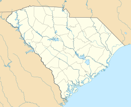
Capers Island is a state-owned barrier island on the Atlantic Ocean in Charleston County, South Carolina about 15 miles north of the city of Charleston. It is separated from the mainland by salt marshes and the Intracoastal Waterway. To the southwest it is separated from the barrier island Dewees Island by Capers Inlet. To the northwest, it is separated from the barrier island Bulls Island by Price Inlet.[1]
The island is named for French Huguenot immigrants Gabriel, Richard and William Capiers that settled there in 1697.
- ^ "Capers Island Heritage Preserve". South Carolina Department of Natural Resources. Archived from the original on 28 November 2010. Retrieved 27 August 2014.
