| Cedar Mountains | |
|---|---|
 | |
| Highest point | |
| Peak | Tabbys Peak |
| Elevation | 6,921 ft (2,110 m) |
| Coordinates | 40°27′48″N 112°59′15″W / 40.463271°N 112.987476°W |
| Dimensions | |
| Length | 45 mi (72 km) N-S, (north 30-mi section) |
| Width | 5 mi (8.0 km) (widest, 7-mi, SE trending for south 15-mi section) |
| Geography | |
| Country | United States |
| State | Utah |
| Regions | Great Basin Desert and Great Salt Lake Desert |
| County | Tooele |
| Communities | Dugway, Aragonite, Low and Delle |
| Range coordinates | 40°33′49″N 112°58′53″W / 40.56355°N 112.98137°W |
| Borders on | Lakeside Mountains, Great Salt Lake, Skull Valley, Great Salt Lake Desert, Grassy Mountains and Paddle Valley |
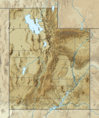
The Cedar Mountains of Tooele County, Utah, USA, are a 45-mile (72 km) long[1] mountain range located in the county's east, bordering east sections of the Great Salt Lake Desert on the range's west and southwest flanks.
The range contains the Cedar Mountain Wilderness, and lies between Skull Valley on its east and southeast, and the Great Salt Lake Desert on its west and southwest.
- ^ Utah, DeLorme Atlas & Gazetteer, p. 15,16 & 23,24.
