 Chalky Island from the west | |
| Geography | |
|---|---|
| Location | Fiordland |
| Coordinates | 46°03′S 166°31′E / 46.050°S 166.517°E |
| Area | 5.14 km2 (1.98 sq mi) |
| Highest elevation | 151 m (495 ft) |
| Administration | |
| Demographics | |
| Population | 0 |
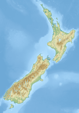
Chalky Island or Te Kākahu-o-Tamatea is an island in the southwest of New Zealand, and is part of Fiordland National Park. It lies at the entrance to Taiari / Chalky Inlet, next to Rakituma / Preservation Inlet, at the southwestern tip of the South Island, 10 kilometres (6 mi) northwest of Puysegur Point, 15 kilometres (9 mi) southeast of West Cape, and 140 kilometres (87 mi) west of Invercargill. Chalky Island is one of the predator-free islands that is part of the Fiordland Islands restoration programme. The programme's focus is to eradicate pests and translocate native species.[1]
The island was known to Māori as te kākahu-o-Tamatea (the cloak of Tamatea), as, according to oral tradition, it was the place where the explorer Tamatea spread his cloak out to dry after being drenched by the sea.[2] It was first charted by Captain James Cook in 1773, and was a base for sealers in the late 18th and early 19th centuries.
In 1999 Chalky Island became the first nearshore island from which stoats were successfully eradicated by the New Zealand Department of Conservation, and it is now free of mammalian predators and is used as a bird sanctuary.[3] Until 2005 it was one of only four refuges of the only flightless native parrot, the critically endangered kākāpō, and is still a kākāpō refuge.[4] Other threatened endemic birds transferred to the island since the eradication of stoats include tieke (saddleback), mōhua (yellowhead), little spotted kiwi, and orange-fronted kākāriki.[5] The Te Kakahu skink is endemic to the island.[6] Dolphins, orcas, and southern right whales are sometimes seen in the bay.[7]
- ^ "Project implementation". www.doc.govt.nz. Retrieved 1 February 2022.
- ^ "Customary Use | Fiordland Marine Guardians". www.fmg.org.nz. Archived from the original on 23 February 2018. Retrieved 22 February 2018.
- ^ Hansford, Dave (July–August 2018). "The first test". New Zealand Geographic. 152: 74–91.
- ^ "Updates: June to September 2005". Kākāpō Recovery Program. Retrieved 12 April 2009.
- ^ "Project implementation: Fiordland Island restoration programme". Department of Conservation. Retrieved 13 October 2017.
- ^ "Oligosoma tekakahu Chapple, Bell, Chapple, Miller, Daugherty & Patterson, 2011". The Reptile Database. www.reptarium.cz/en/. Retrieved 18 July 2015.
- ^ [1] Archived October 16, 2008, at the Wayback Machine

