| Chapel Point State Park | |
|---|---|
 | |
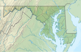
| Location | Charles County, Maryland, United States |
| Nearest town | La Plata, Maryland |
| Coordinates | 38°27′50″N 77°01′44″W / 38.46389°N 77.02889°W[1] |
| Area | 821 acres (332 ha)[2] |
| Elevation | 20 ft (6.1 m)[1] |
| Established | 1972 |
| Administered by | Charles County |
| Designation | Maryland state park |
| Website | Official website |
Chapel Point State Park is an undeveloped public recreation area located on the Port Tobacco River, a tributary of the Potomac, in Charles County, Maryland. The state park offers fishing and hunting and is under the management of Charles County.[3]
- ^ a b "Chapel Point". Geographic Names Information System. United States Geological Survey, United States Department of the Interior.
- ^ Cite error: The named reference
acreagereportwas invoked but never defined (see the help page). - ^ Cite error: The named reference
mdnrwas invoked but never defined (see the help page).
