| Chapman's Peak Drive | |
|---|---|
 Chapman's Peak Drive facing southwards. | |
| Length | 9.5 km |
| Traversed by | M6 |
| Location | Cape Peninsula, Western Cape, South Africa |
| Range | Table Mountain |
| Coordinates | 34°5′14″S 18°21′38″E / 34.08722°S 18.36056°E |
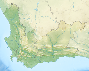
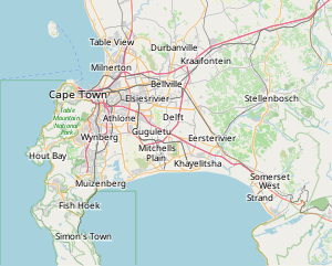
 Location of Chapman's Peak Drive in the Western Cape Province. | |
Chapman's Peak is a mountain on the western side of the Cape Peninsula, between Hout Bay and Noordhoek in Cape Town, South Africa. The western flank of the mountain falls sharply for hundreds of metres into the Atlantic Ocean, and a road, known as Chapman's Peak Drive, hugs the near-vertical face of the mountain, linking Hout Bay to Noordhoek. Tourists and locals often stop at viewpoints along this road, which offer views of Hout Bay, The Sentinel peak and surrounds, as well as over Noordhoek Beach.
Chapman's Peak Drive is part of the route of two of South Africa's biggest mass-participation races, the Cape Argus Cycle Race and the Two Oceans Marathon.

