| Claughton | |
|---|---|
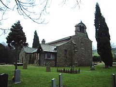
 St Chad's Church, Claughton, now redundant | |
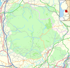
Location within Lancashire | |
| Population | 209 (2011) |
| OS grid reference | SD562664 |
| Civil parish |
|
| District | |
| Shire county | |
| Region | |
| Country | England |
| Sovereign state | United Kingdom |
| Post town | LANCASTER |
| Postcode district | LA2 |
| Dialling code | 01524 |
| Police | Lancashire |
| Fire | Lancashire |
| Ambulance | North West |
| UK Parliament | |
Claughton (/ˈklæftən/ KLAF-tən) is a small village and civil parish in the City of Lancaster in Lancashire, England. The village is on the A683 road east of Lancaster and at the time of the 2001 census had a population of 132.[1] In the 2011 census Claughton was grouped with Roeburndale (2001 pop. 76)[1] to give a total of 223.[2]
North of the village is the River Lune, and to the south is Claughton Moor and the fells of the Forest of Bowland.
- ^ a b "Parish headcount" (PDF). Archived from the original (PDF) on 10 December 2006. Retrieved 13 April 2008.
- ^ UK Census (2011). "Local Area Report – Claughton Parish (E04005185)". Nomis. Office for National Statistics. Retrieved 27 March 2021.


