| Cline Buttes | |
|---|---|
 Cline Buttes viewed from the east | |
| Highest point | |
| Elevation | 4,117 ft (1,255 m) |
| Coordinates | 44°15′08″N 121°18′09″W / 44.25229°N 121.30257°W |
| Geography | |
| Location | Deschutes County, Oregon |
| Topo map(s) | USGS Cline Falls, Oregon (44121C3) |
| Geology | |
| Rock age | Late Oligocene or early Miocene epoch |
| Mountain type | Volcanic |
| Climbing | |
| Easiest route | Rough dirt road |
| Normal route | Hiking or biking trails |
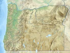
The Cline Buttes are mountains with volcanic origins that form three dome-shaped peaks located in Deschutes County in central Oregon. They are some of the eastern foothills of the Cascade Range. Situated on land administered by the Bureau of Land Management, the buttes are flanked on the east and west sides by two separate sections of the Eagle Crest Resort. On the highest summit, there is a Federal Aviation Administration site with an aircraft navigation beacon. The mountains have several hiking trails as well as a number of popular mountain bike routes.

