| Coed-y-Caerau | |
|---|---|
| Hamlet | |
 Looking southwest across Iron Age and Roman military embankments (Pen-toppen Ash) from Coed-y-Caerau Woods. The parallel shadows delineate part of the northeastern rectangular earthwork. | |
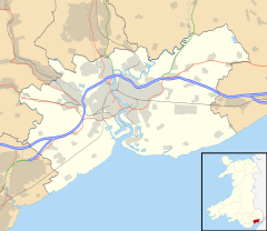
Location within Newport | |
| Community | |
| Principal area | |
| Country | Wales |
| Sovereign state | United Kingdom |
| Police | Gwent |
| Fire | South Wales |
| Ambulance | Welsh |
| UK Parliament | |
Coed-y-Caerau (Welsh for 'wood of the forts') is a hamlet about 1,400 metres (4,600 ft) north of Langstone in Newport, Wales (Welsh: Casnewydd), historically in Monmouthshire (Welsh: Sir Fynwy). It is the site of prehistoric and Roman hillforts.


