| Cold Lake Provincial Park | |
|---|---|
 | |
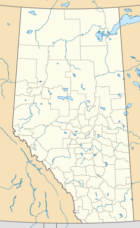
| Location | Municipal District of Bonnyville No. 87, Alberta, Canada |
| Nearest city | Cold Lake |
| Coordinates | 54°28′16″N 110°06′34″W / 54.47111°N 110.10944°W |
| Area | 62 km2 (24 sq mi) |
| Established | August 18, 1976 |
| Governing body | Alberta Tourism, Parks and Recreation |
 | |
Cold Lake Provincial Park is a provincial park in northeastern Alberta, Canada.
It is located 3 kilometres (1.9 mi) east of the city of Cold Lake, on Highway 28, and extends to the Saskatchewan border.
The park protects the boreal forest in a number of designated areas on the southern and northern shores of Cold Lake, one of the largest lakes in Alberta. These shores are important nesting grounds for waterfowl.
The forest contains poplar, birch, spruce, and other types of wood.
The protected area is continued into Saskatchewan with the Meadow Lake Provincial Park.
